May 30, 2019


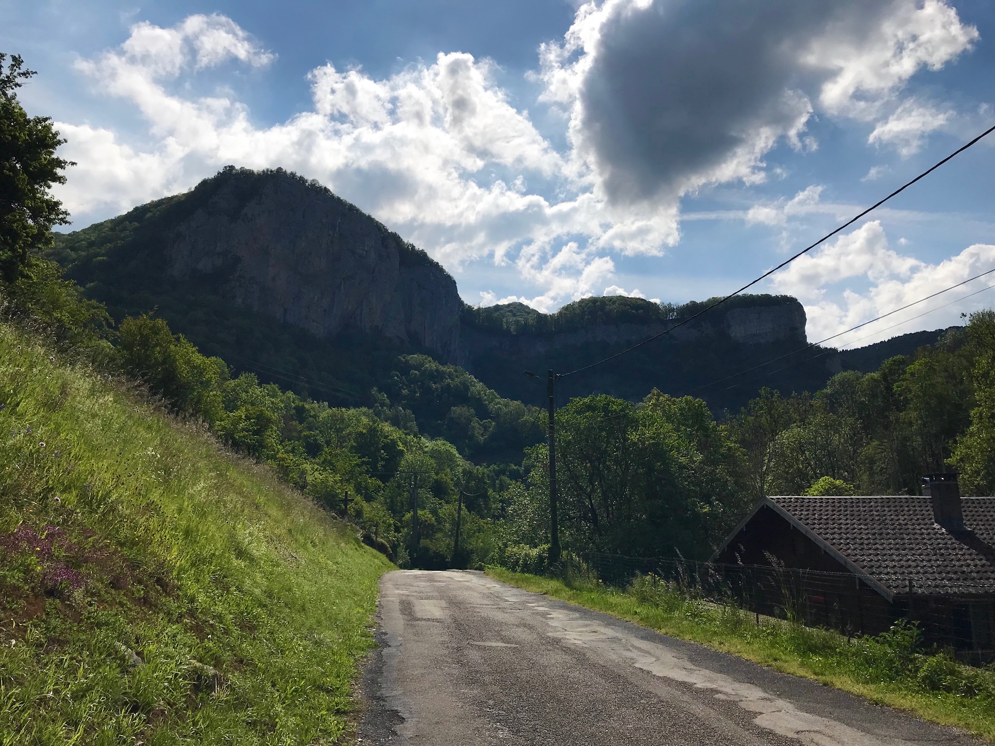
The guidebook said that today’s route was “very strenuous,” and it provided an alternate route for bicyclists and horse-riders because it would be impassable for them. We weren’t concerned–we figured we could take it slow if we needed to. So, after a breakfast at the hotel of assorted baked goods, jam, fruit and coffee, we headed out for the day’s adventure.
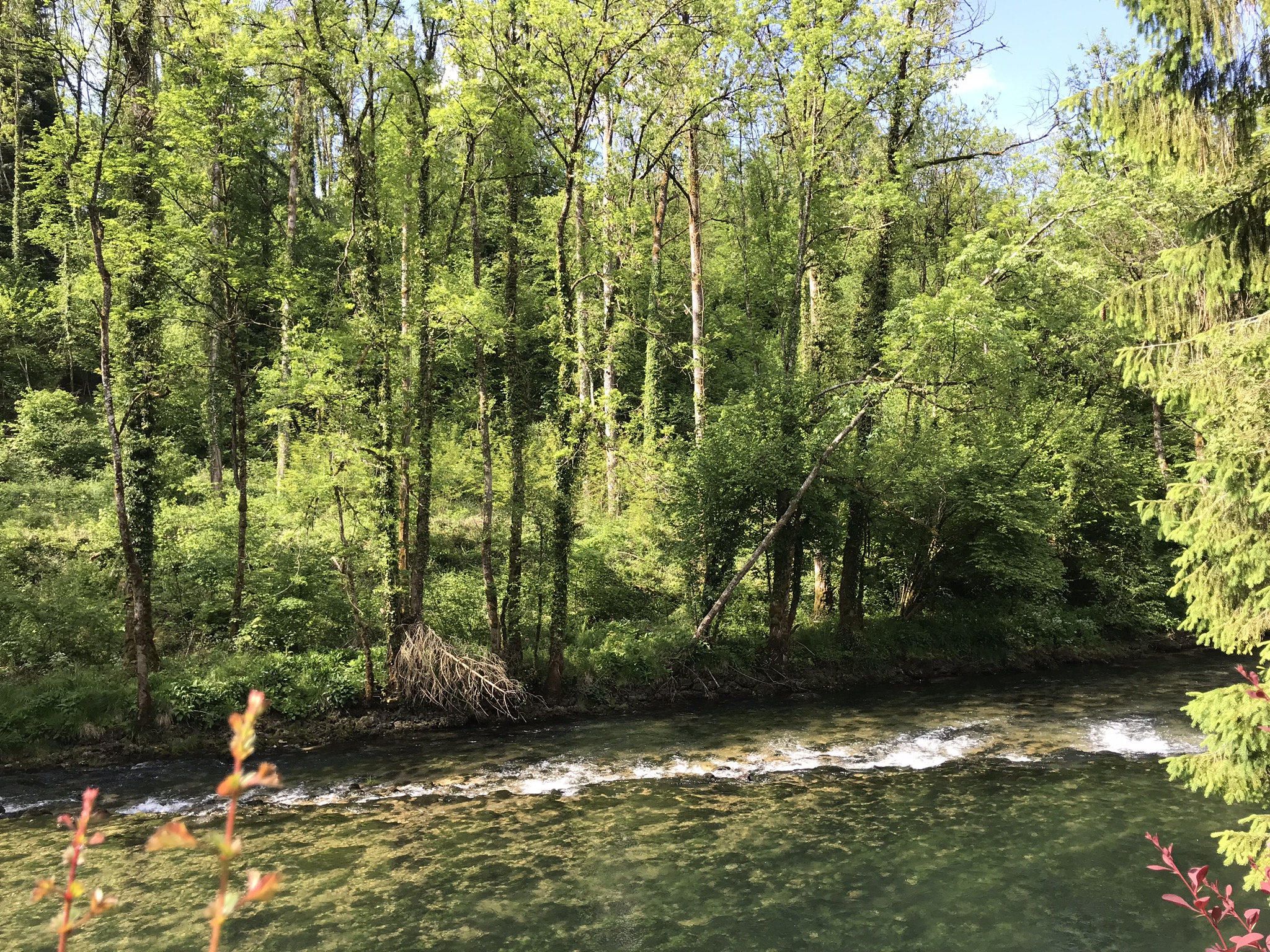
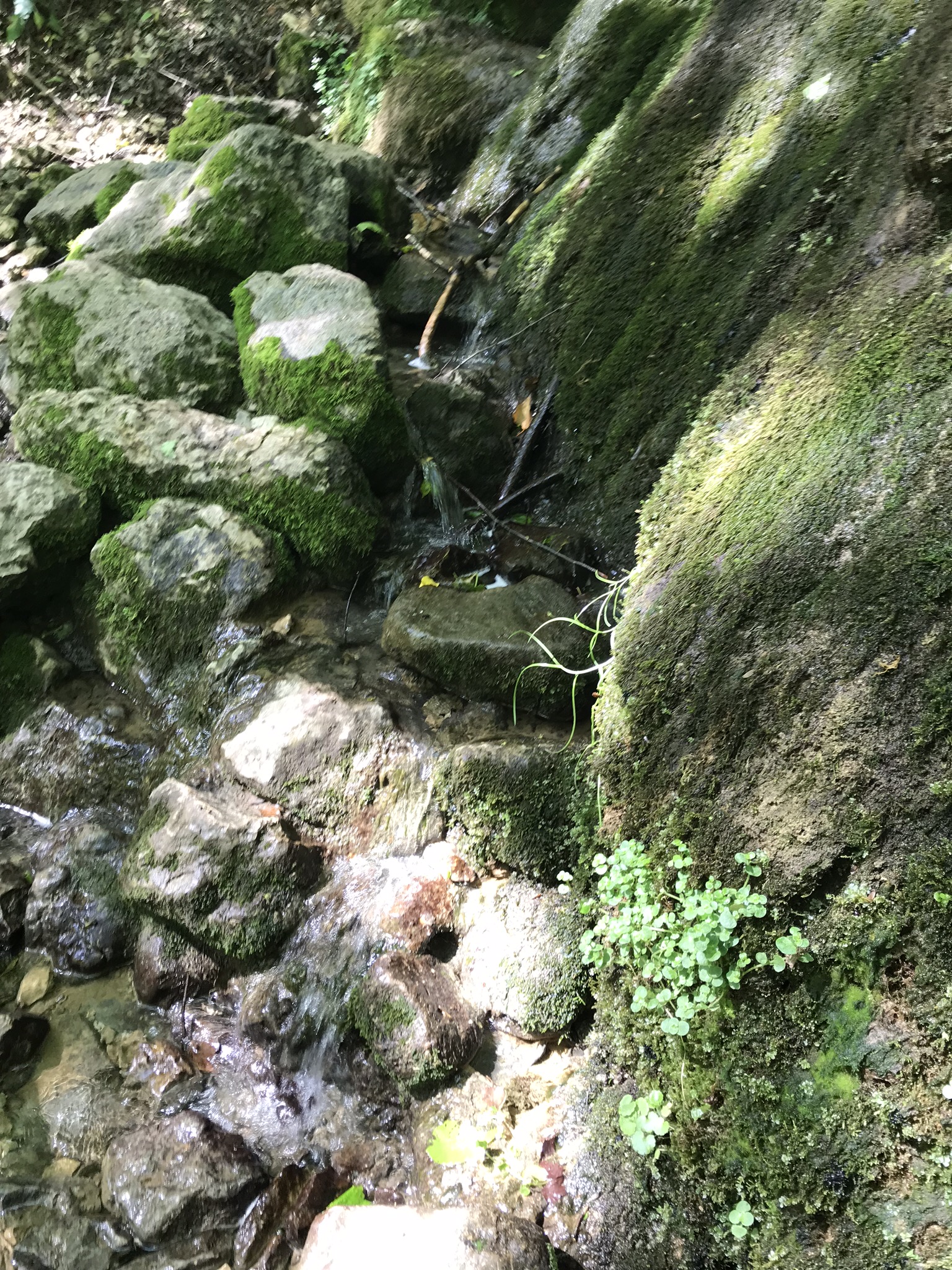
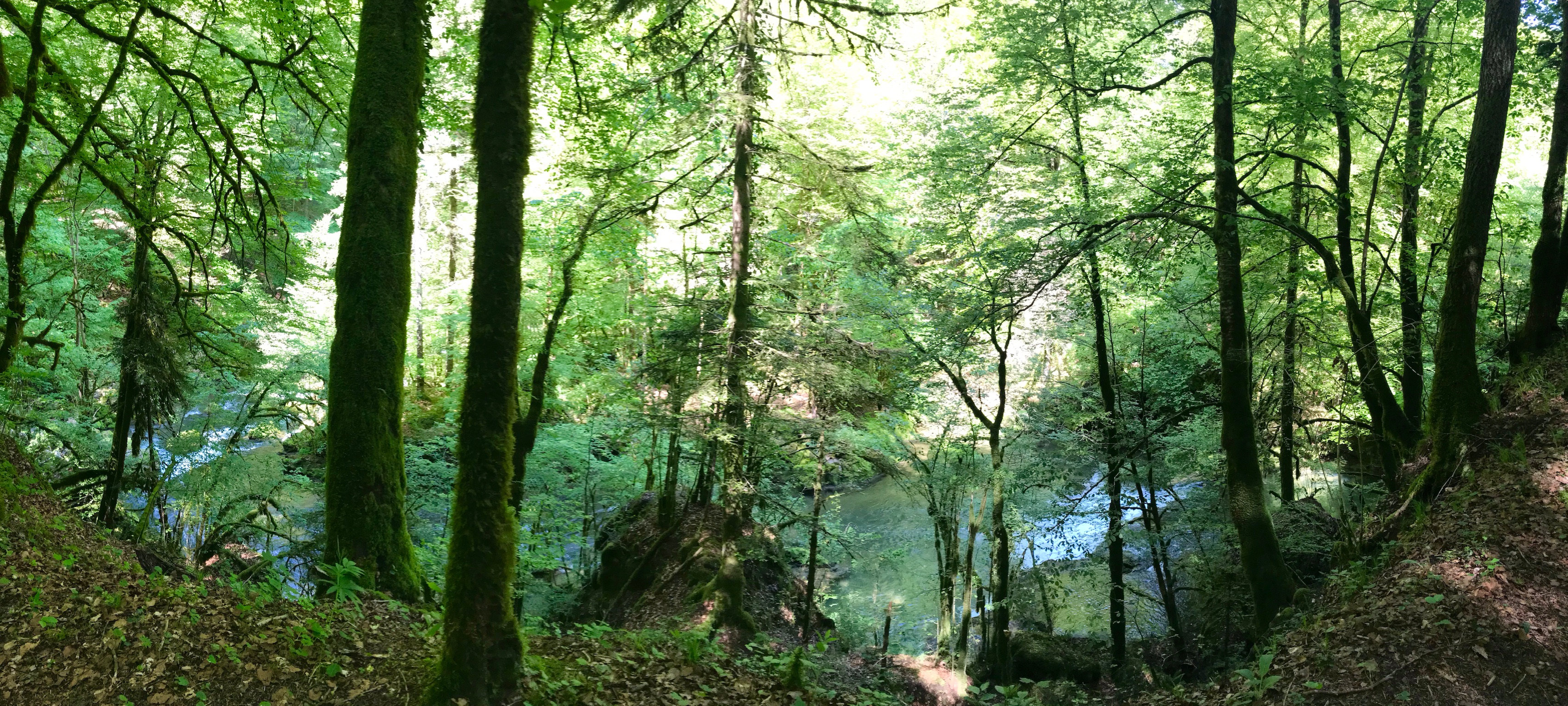
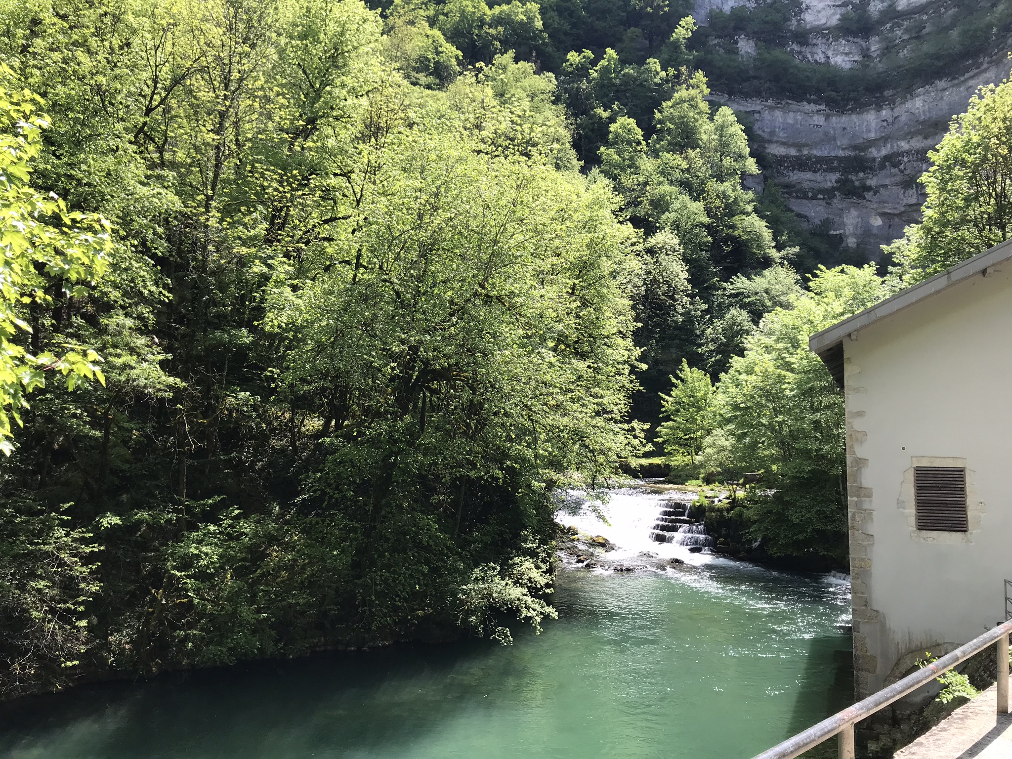
There was a path just below our hotel that led out of town along the river. It quickly led off road and into a little grotto with a waterfall.

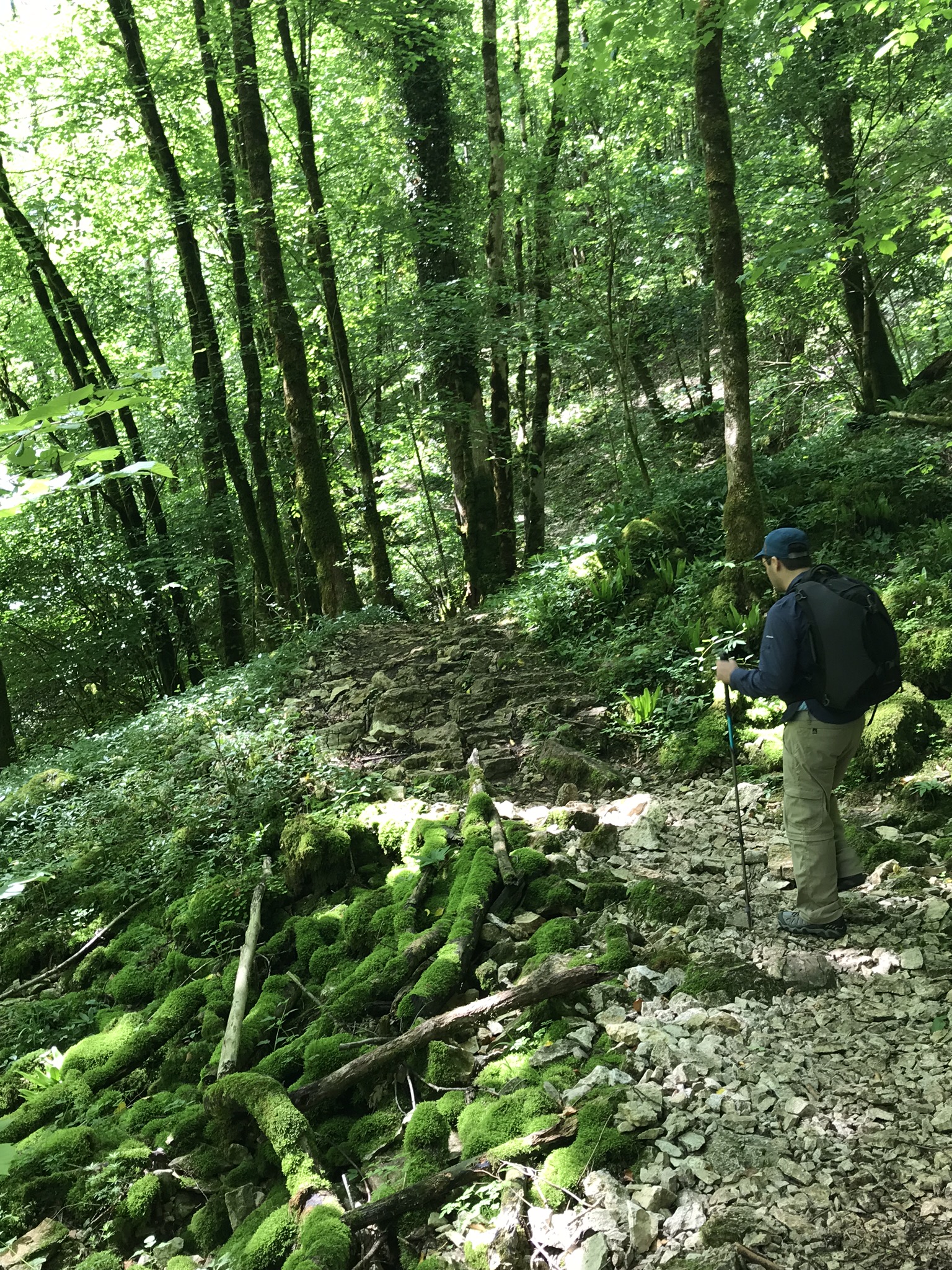
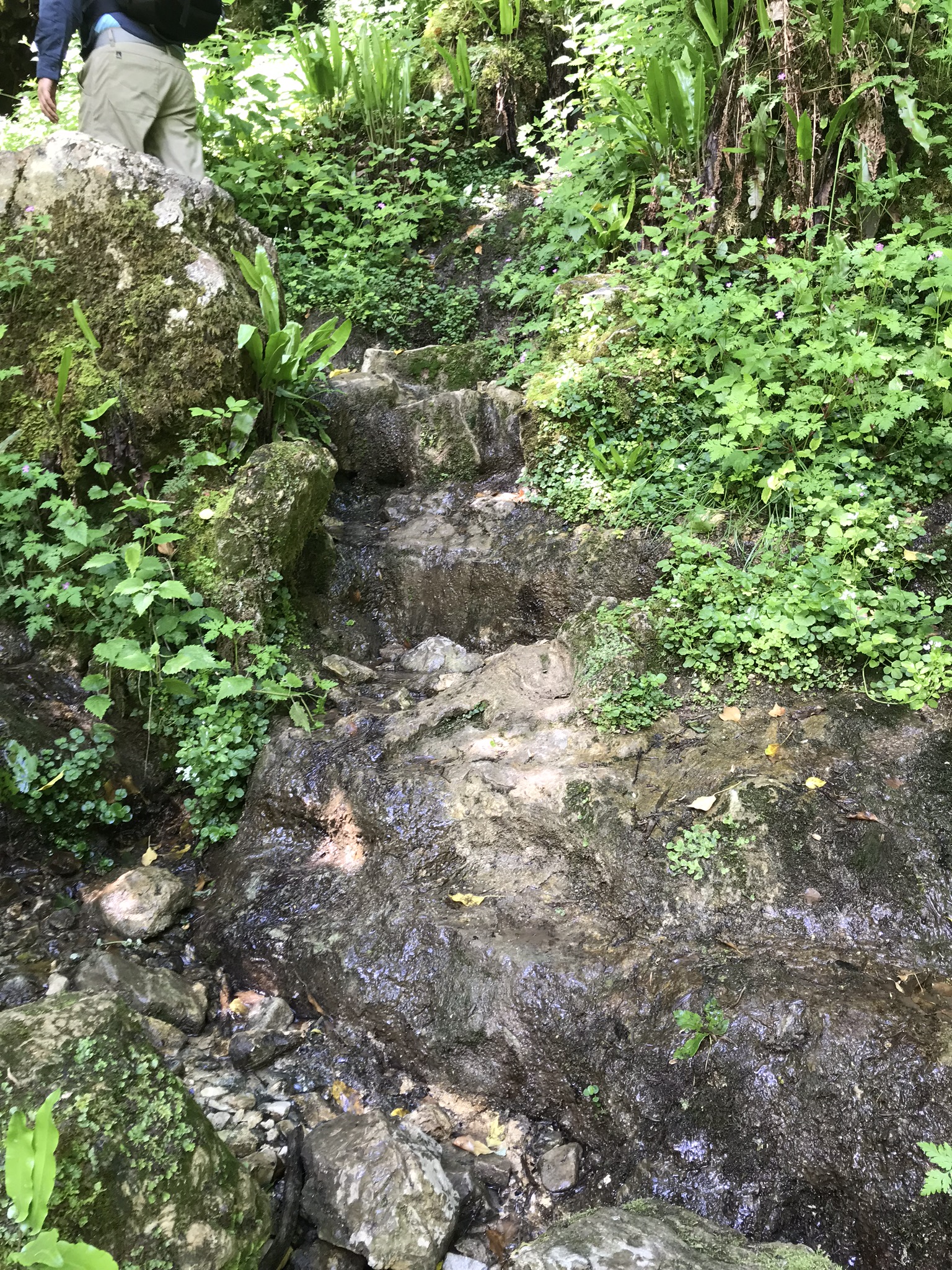
Soon after we were off into the woods climbing up, to trace the contours of the gorge.


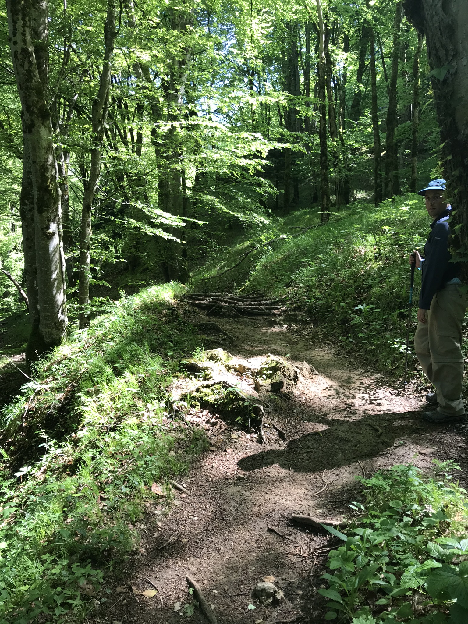
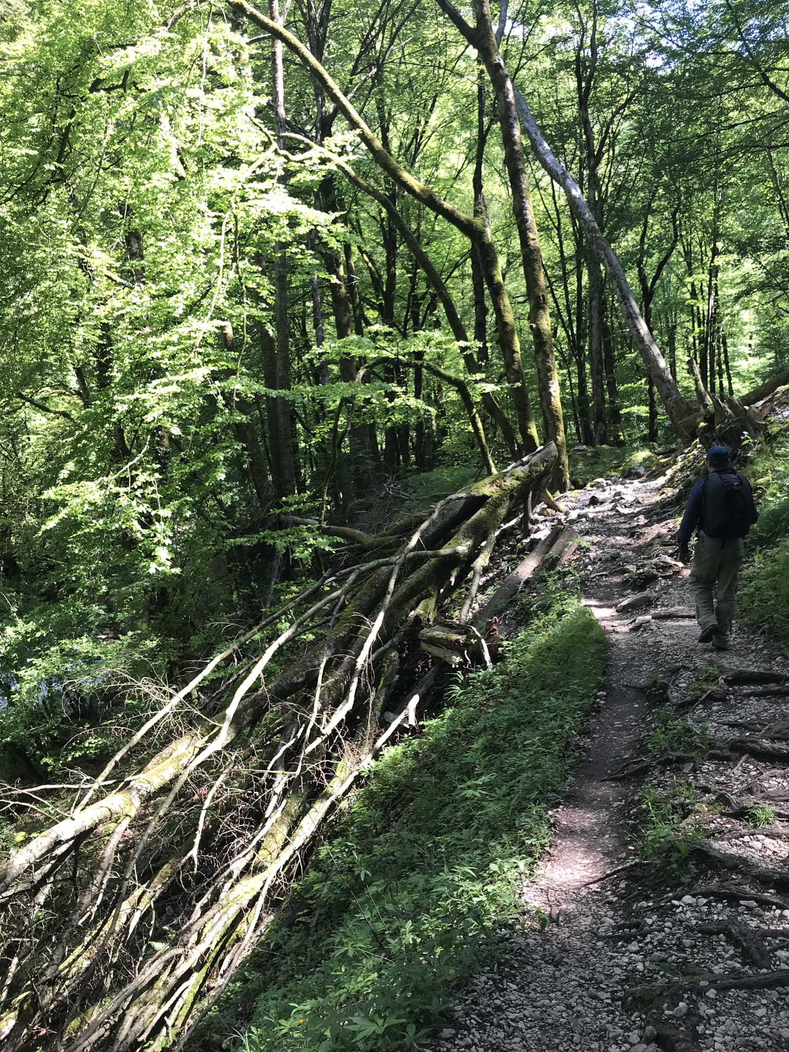
We were starting to get a sense of what the guidebook meant my “strenuous”: in addition to inclines and rocky terrain, the trail was slippery in parts because of the proximity to water, and it was narrow on cliff edges in bits. If you lost your footing, you’d fall a good distance, hitting a bunch of rocks and trees on the way. While downloading pics from my phone I noticed I didn’t have any shots of the scariest parts, and I realized because I was always concentrating, I never stopped to get photos of those. 🙂

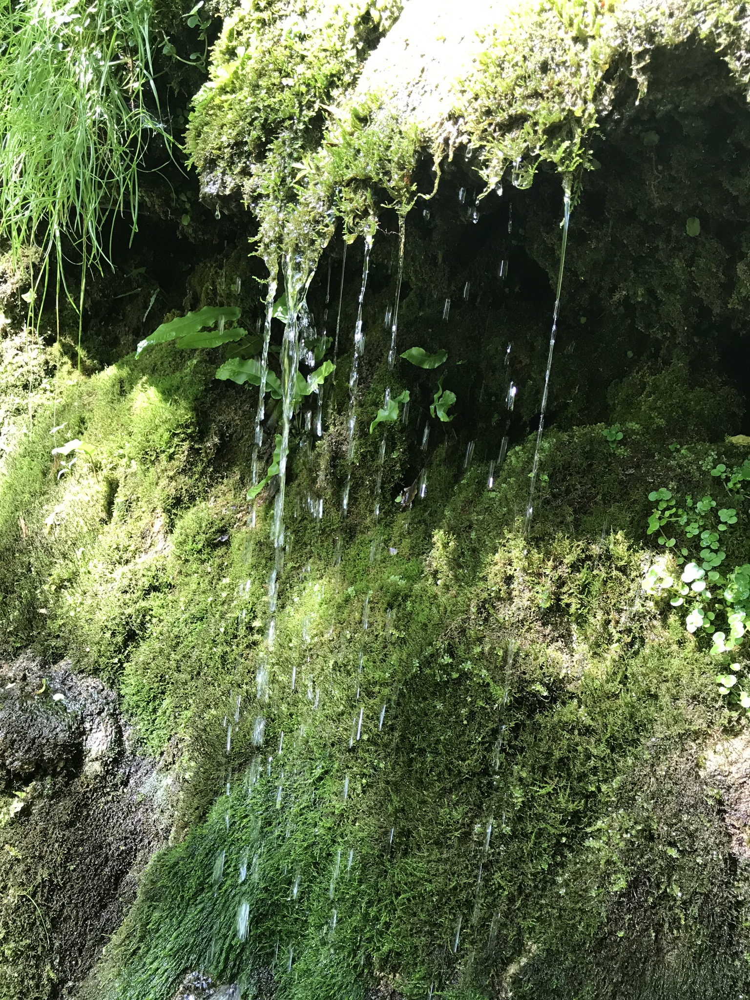
Though it was challenging, it was worth it! There were a lot of pretty sights.
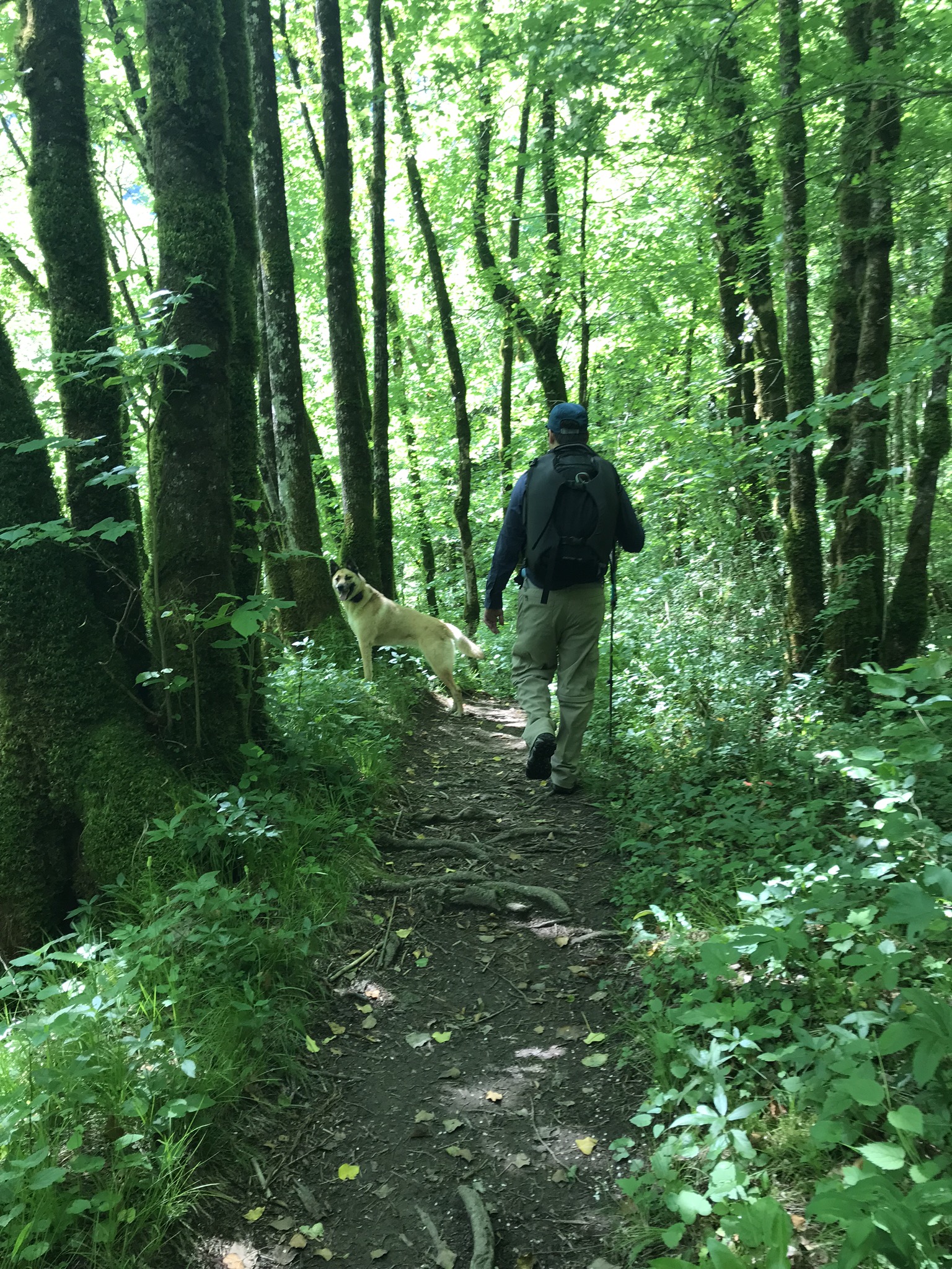
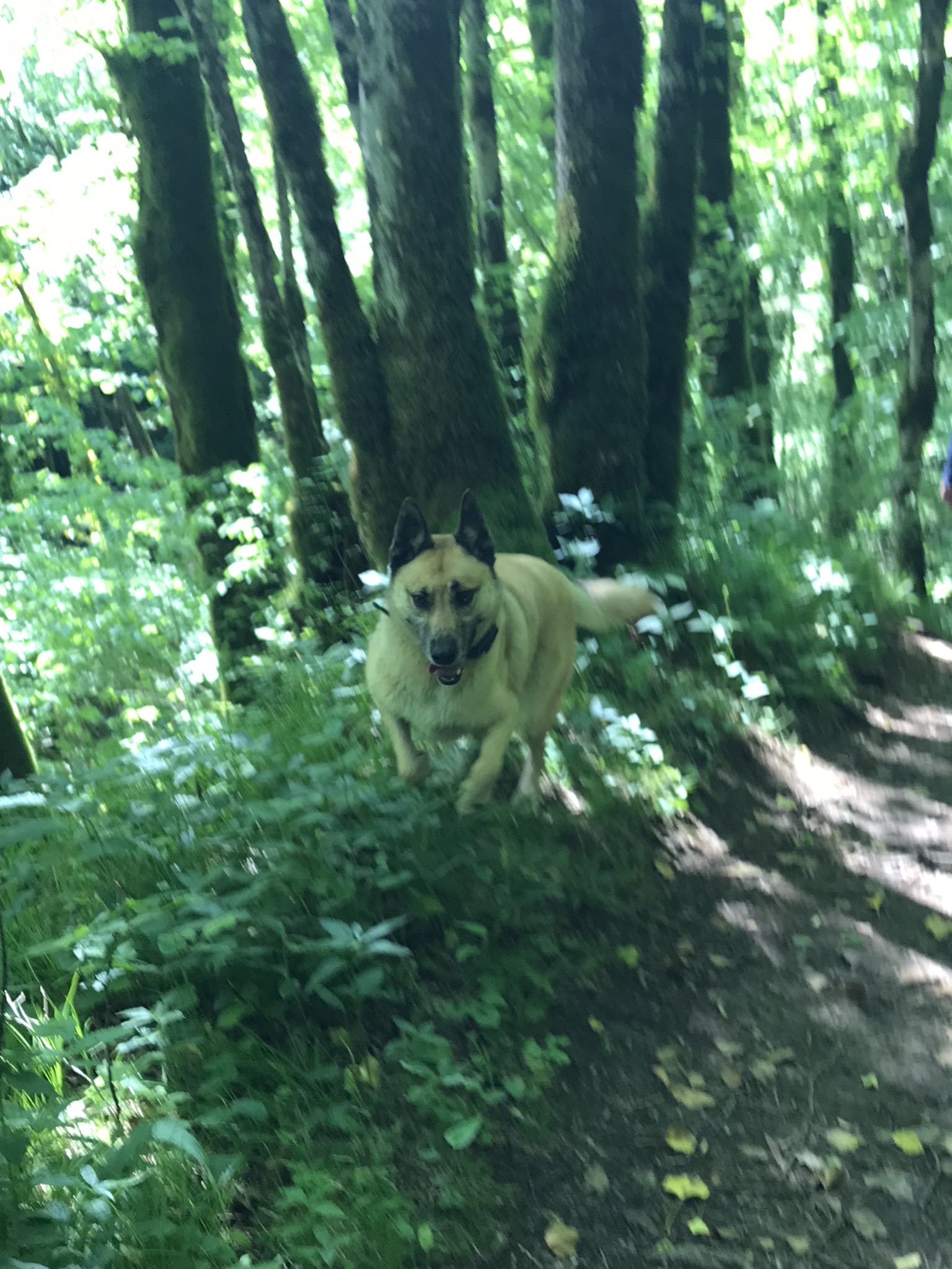
Some other hikers on the trail had their pup with them and he got impatient for them to make their way through, so he kept running ahead, excited to explore the trail. I snagged a couple shots of him:


One of my three favorite people I followed while noodling with preparations for this trip was Efren Gonzalez. He has a background in tv production and walked the VF pushing a trolley with video/drone equipment and did 1 minute daily updates. To get a sense of the of the first half of this day’s route, you can check out his one-minute video from his day walking from Mouther to Pontarlier here: https://youtu.be/Lh__oJqBR0U.
(You should also check out the rest of his VF videos if you are so inclined–he got some great shots! Though at times he took alternate routes from the VF trail since he was pushing the trolley).
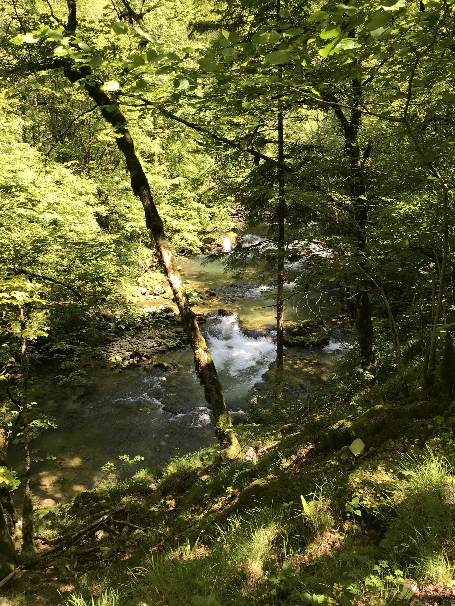
We finally got to the mouth of the river! At this point we’d been walking 3 hours and had covered about 8 km.

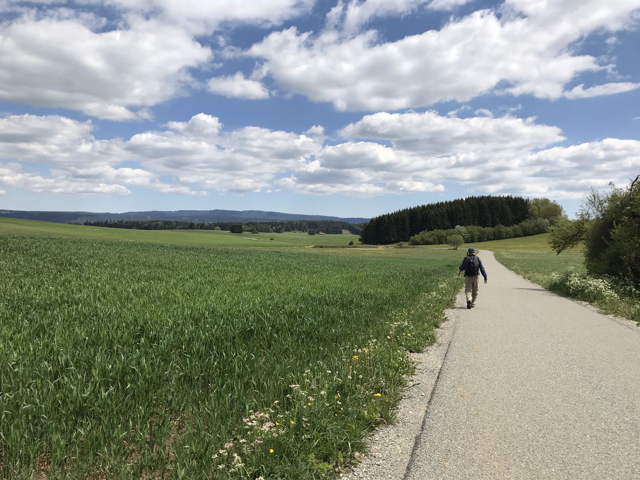
We had about 16km more to go and we were spent. There was a little cafe and bathrooms near the trailhead, so we chugged cokes, which we never drink in real life, but the sugar and caffeine felt INCREDIBLE. Then we were off for the rest of the day. There were still a couple of steep climbs, but no slippery rocks or narrow trails near cliffs. Though, there was an electric fence we had to climb under just before I took this photo:

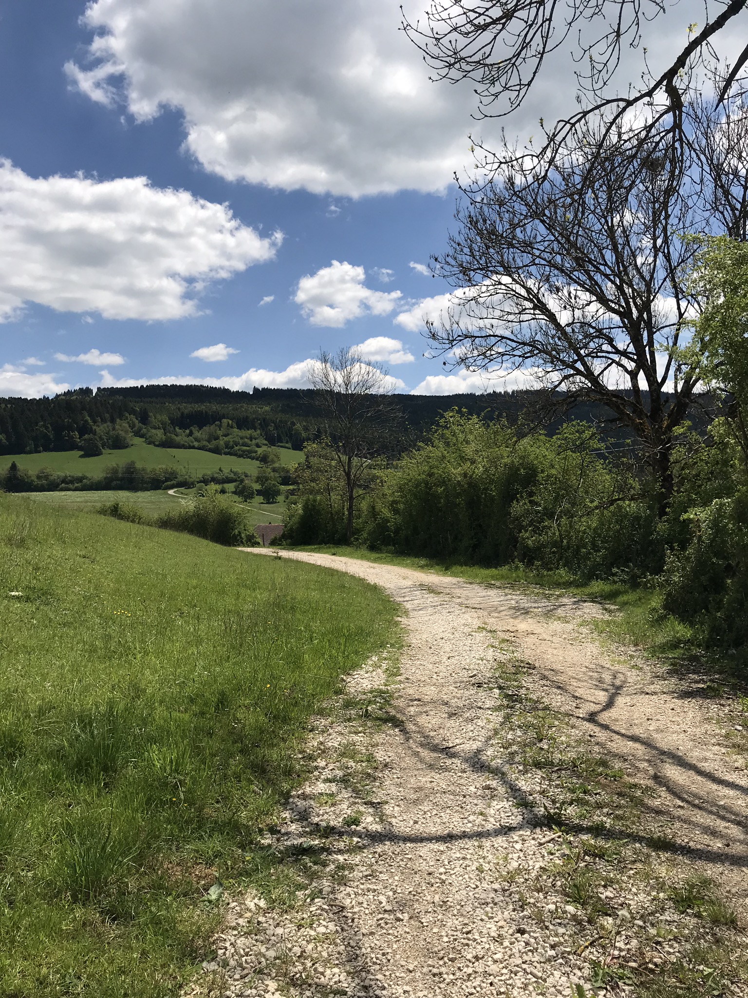
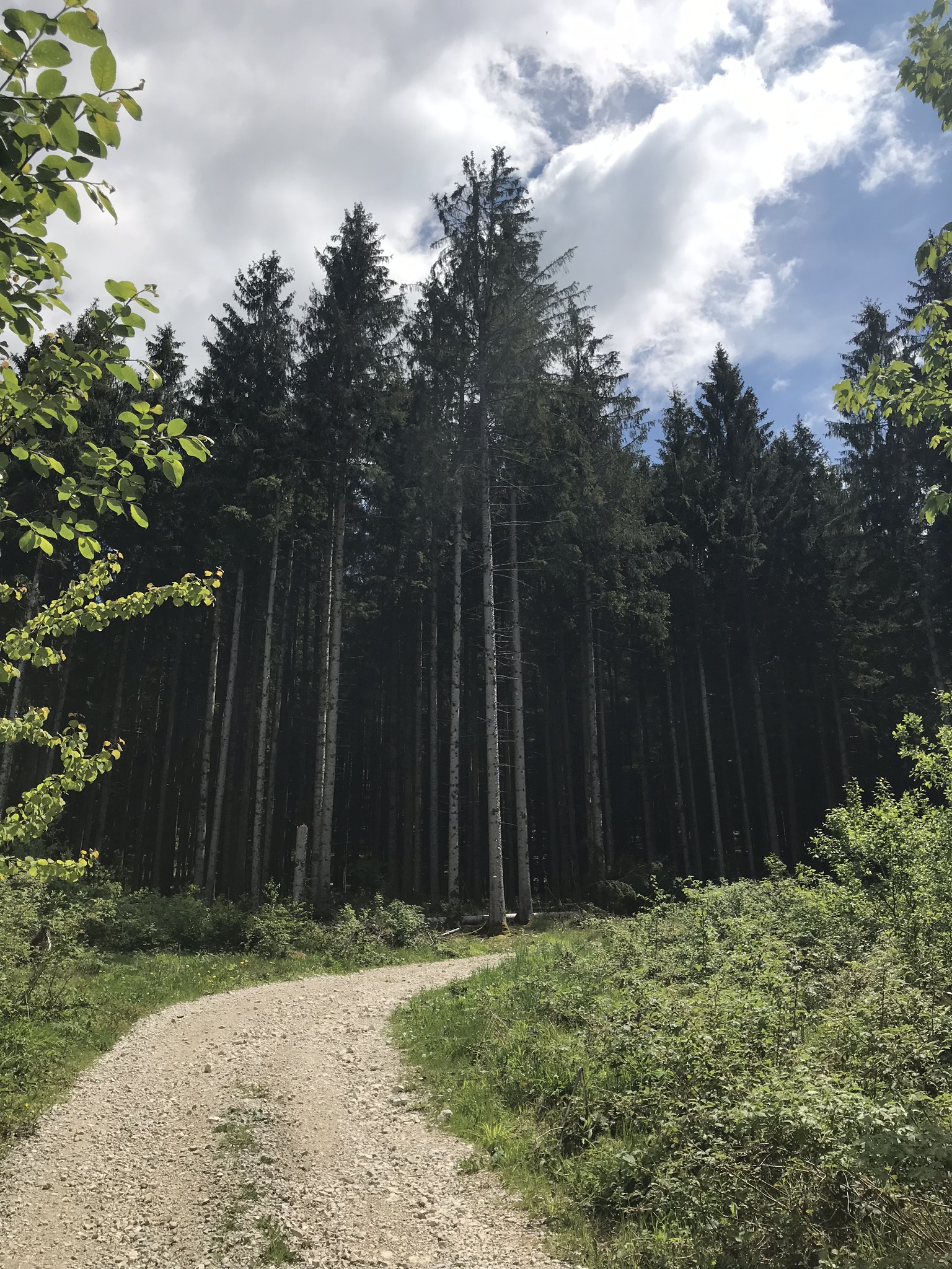
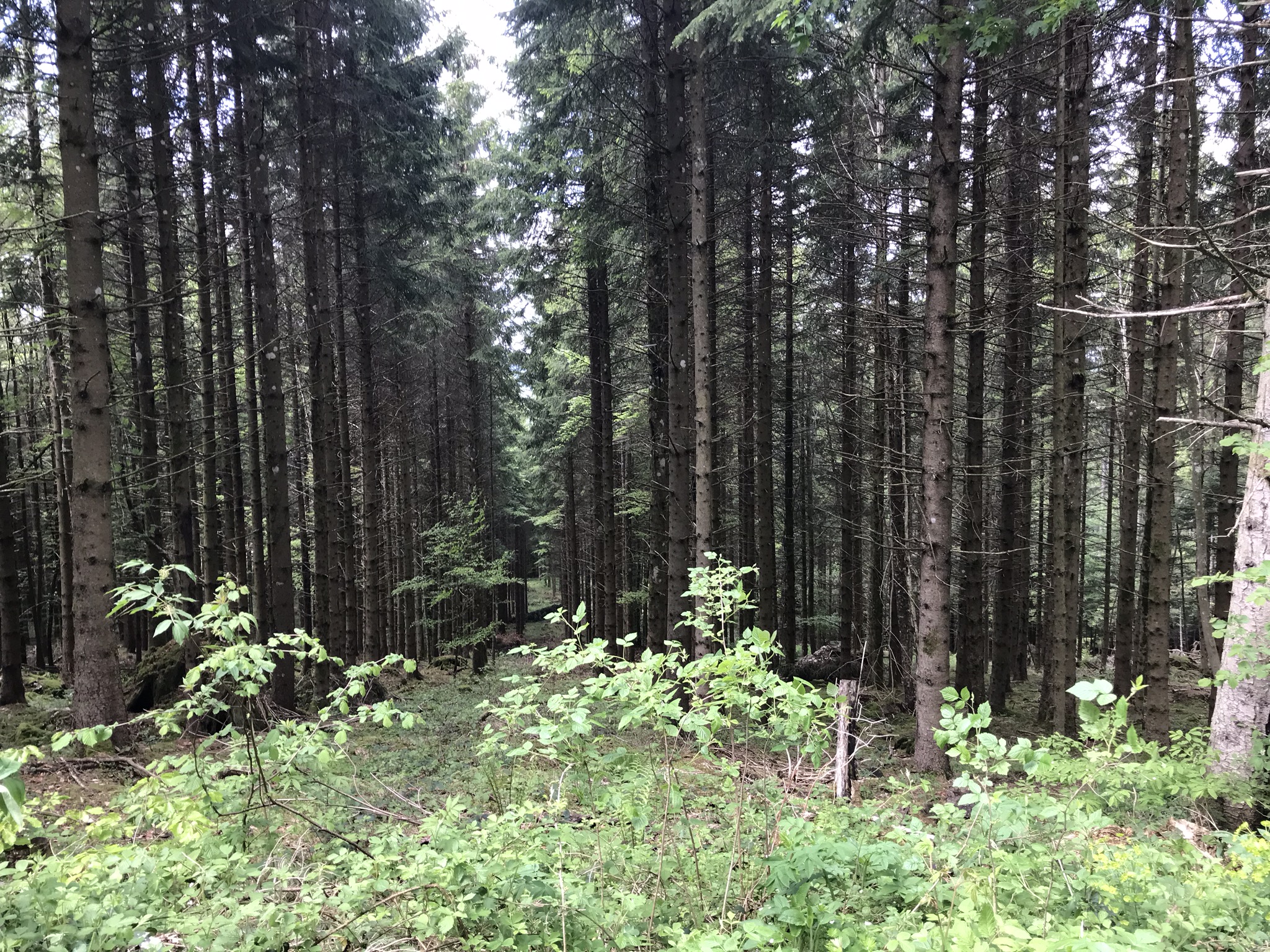
Then the route led up into a forest and the ridge of one of the mountains for a few kilometers
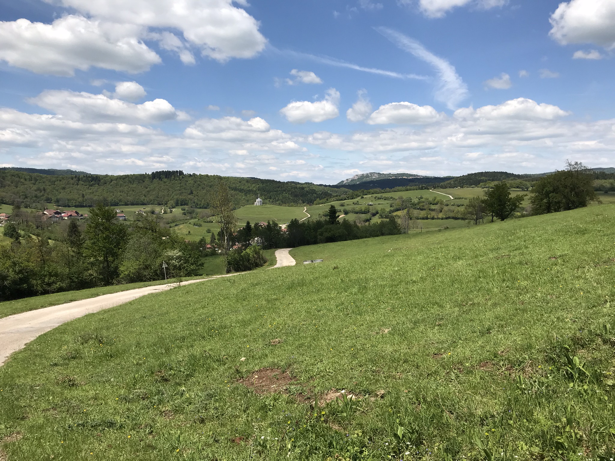
We left the forest and hit a beautiful stretch of valley.

It was about here that I got a text from Verizon welcoming me to Switzerland and giving me my new plan information.
We aren’t in Switzerland, yet. 🙂
But if you look at a map, you can see we a pretty close. I guess, close enough for Verizon, anyway.
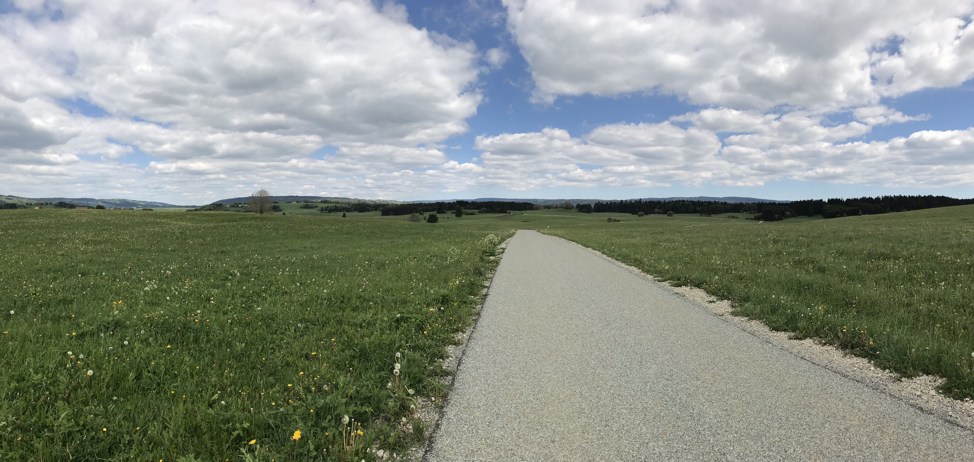

Sometimes when you can see the village or city you are headed to from far away, it can play games with your head because you think you are *almost* there, but you’re actually still a good distance away. I can’t speak for M, but that seemed to happen today. Through that clearing is Pontarlier, but it would be about 90 minutes before we arrived to our lodging.
Pontarlier a really cute town that has a rich history with the border because it marks one of the most popular and manageable passages through the Jura mountains to Switzerland. It’s also a popular for its absinthe production, which we have planed on taking advantage of on our rest day. 🙂

I have been watching Efren’s video blogs he made on theVF. They are very good and insightful.
LikeLike